01
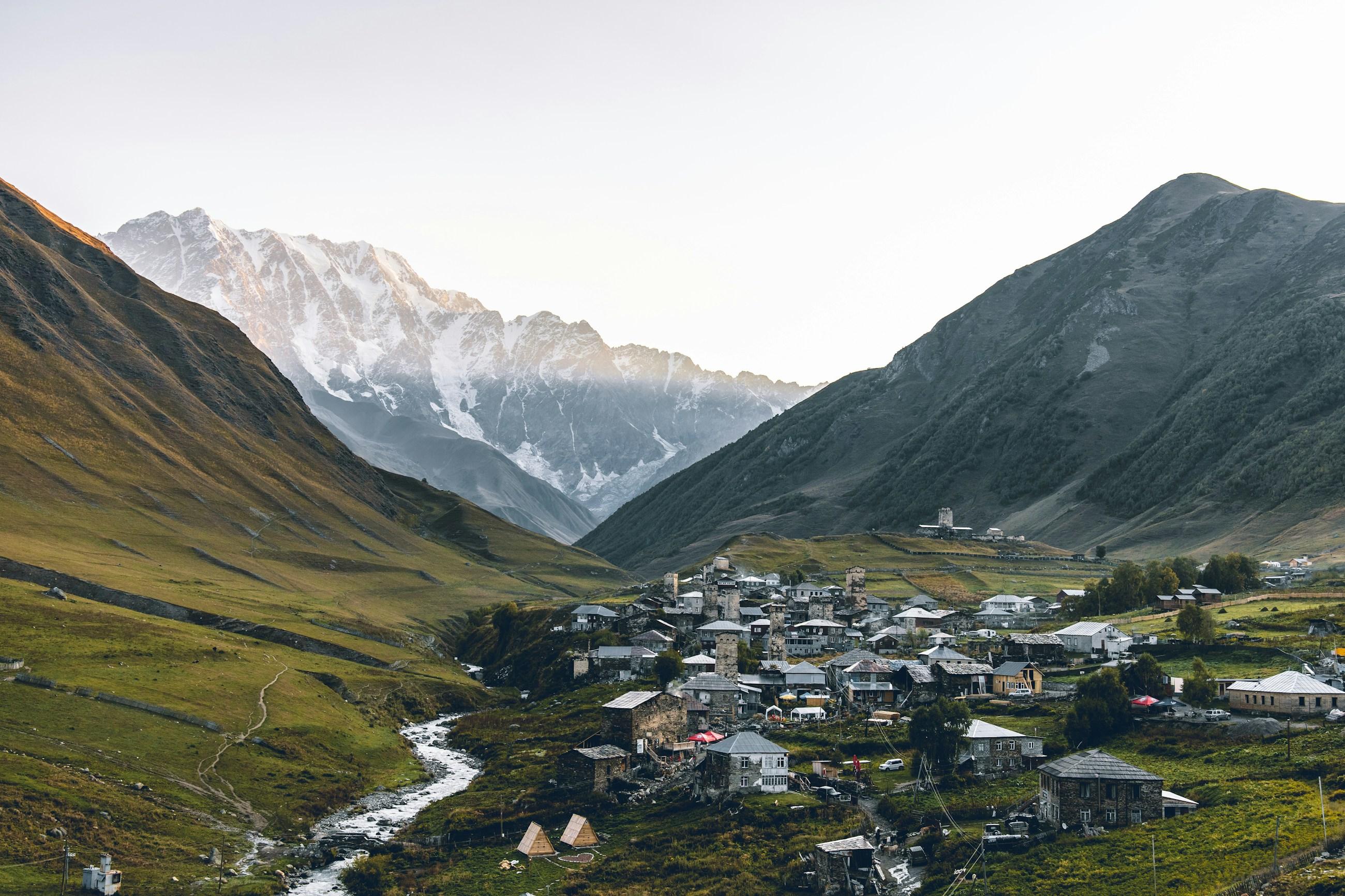
Land & boundaries
CADASTRAL SURVEYS / STAKING / TOPOGRAPHY
LAND SURVEYING · GEORGIA
Land, apartment and building measurement. Cadastral drawings and services for property registration.
Your first consultation is free
Get your free first consultationFrom the ground. To a clear document.
ALL OF GEORGIAEVERY DAY, 10:00–18:0001 / OUR EXPERTISE
Measure a plot, document an apartment, mark a boundary or prepare property records. Choose the service that fits your task.
CADASTRAL SURVEYS / STAKING / TOPOGRAPHY
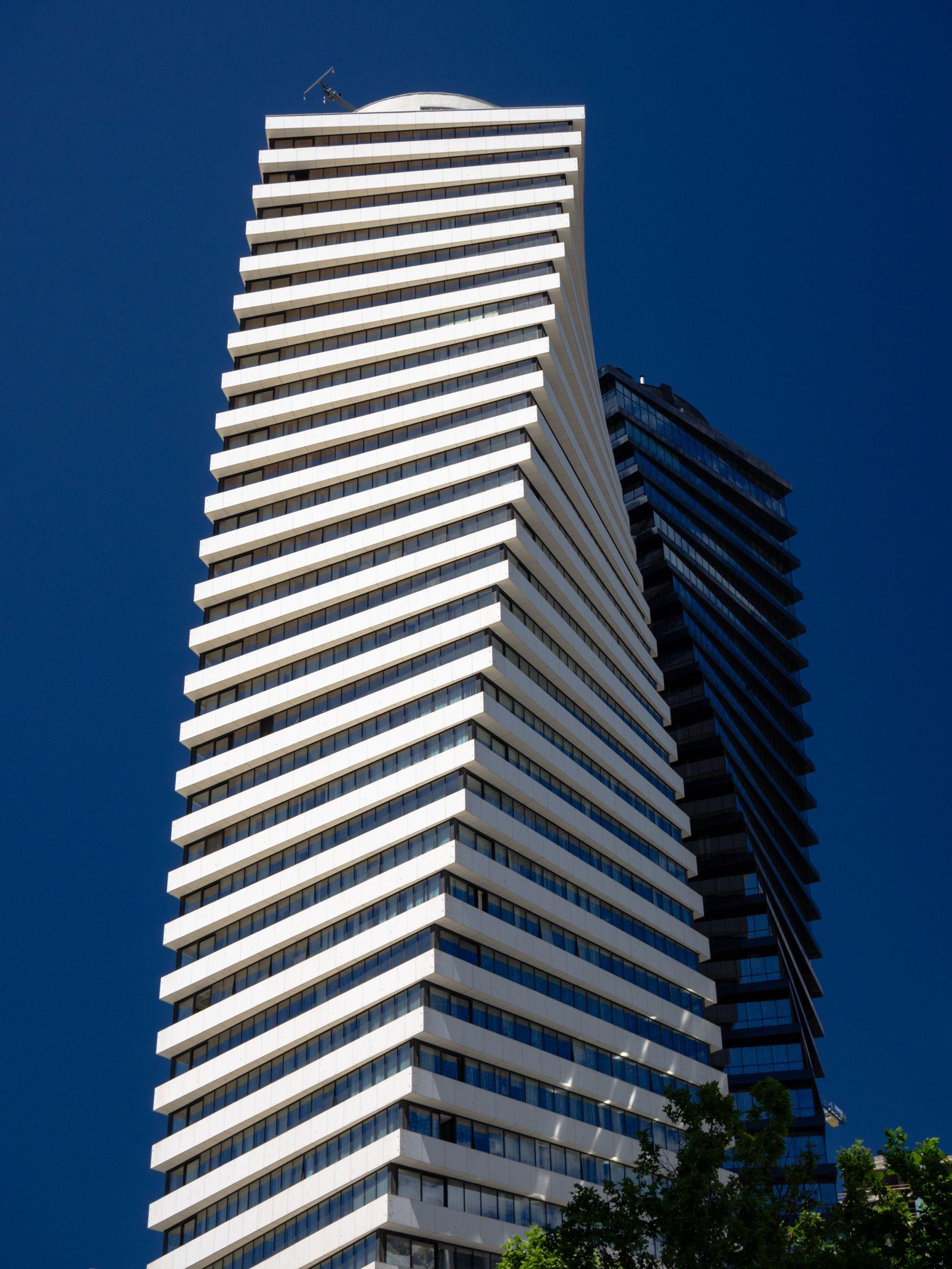
INTERIOR SURVEYS / BUILDING MEASUREMENT
DIVISION / PROPERTY DOCUMENTATION
Every scope and fee is agreed for the individual property.
All services1302 / HOW WE WORK
From the first question to the agreed result. We explain what information is needed and what you will receive.
Share the location and what you need to resolve.
Together, we clarify the purpose, available records and scope.
We collect the relevant site data for the agreed brief.
Measurements become the drawings and materials agreed for your task.
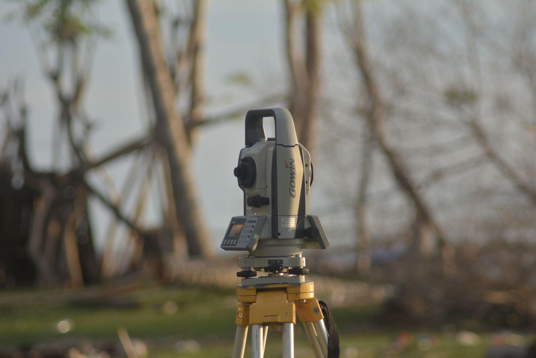
03 / THE BASIS OF PRECISION
We connect the conditions on site with the drawings and materials your task requires.
Parcel surveying, boundary staking and topographical studies.
Measured plans of apartments and buildings, with the agreed dimensions and layout.
Preparation and review of drawings and supporting materials for your next step.
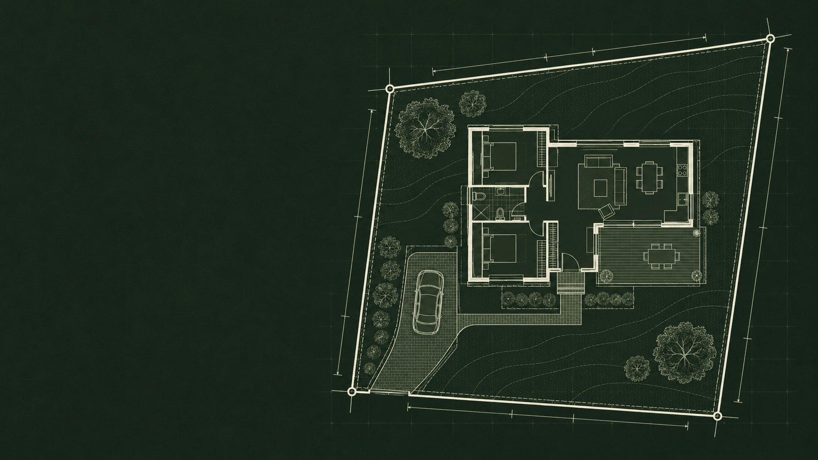
FROM OBSERVATION TO DRAWING
Instrument observations describe the position of survey points. Once processed, they form the structure of a plan.
Illustrative diagram. It does not represent the photographed place, measured survey data or a legal boundary.
Start with the property location, the service you need and the purpose of the work. An existing plan or cadastral code can help if available.
The scope, size, location, access and required outputs all affect the quote. The price is discussed after the task is understood.
Access and the need for an owner or representative to attend are agreed before the visit.
The agreed drawings and supporting materials for your task. A specialist will explain the scope; acceptance by an authority is not guaranteed.
Timing depends on the site, access, scope and deliverables. A schedule is agreed for the individual project.
05 / CONSULTATION
Contact us to discuss your property and receive a free initial consultation. Surveying work, project scope, and pricing are agreed individually.
6 Mtkvari Street, Tbilisi, Georgia
View on Google Maps ↗Every day, 10:00 AM – 6:00 PM
Serving clients throughout Georgia