CONCEPT STUDY
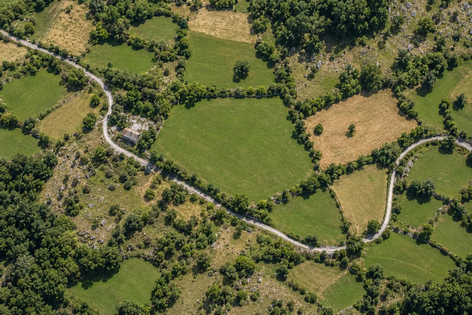
Land parcel study
Two concept studies show how field information becomes a useful plan. Illustrative material; these are not completed client projects.
 N ↑
ILLUSTRATIVE STUDYP—01NOT REAL CADASTRAL DATA
SURVEY VERTICES
P.01 — selected vertex. Points and boundaries are illustrative.
Land parcel study
Terrain, parcel geometry and the relationship between survey points.
Switch between an aerial view, parcel boundaries and a division study. This interactive example explains how survey information is organized.
Back to projects