
02 / Services
Land Parcel Cadastral Survey & Drawing
A cadastral survey measures a land parcel and documents its boundary vertices, area and relevant features in a cadastral drawing. We compare GNSS or total station measurements against available records for the National Agency of Public Registry (NAPR). The submission geometry uses .SHP in WGS-84 / UTM, with .DWG and signed .PDF copies where agreed.
Discuss this service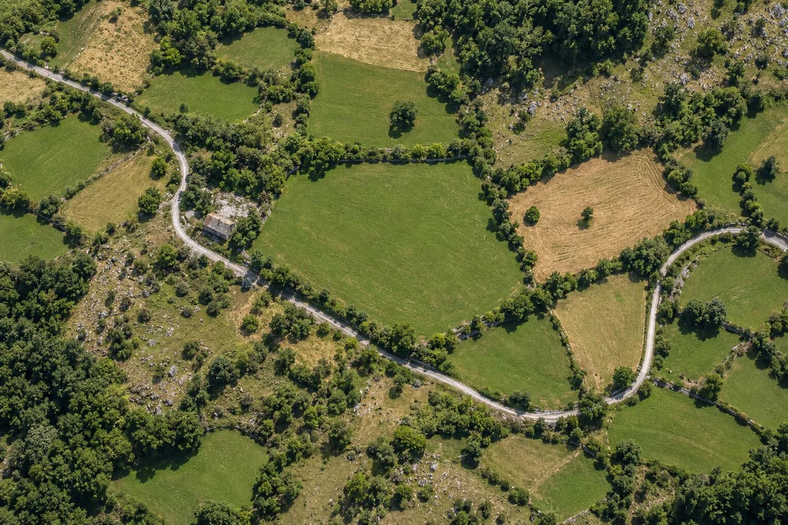 P—01ILLUSTRATIVE MATERIAL
What the work can include
Parcel geometry and registry drawing deliverables
A parcel drawing and agreed survey materials. Existing records and field observations are reviewed together; any discrepancy is discussed before delivery.
Information to prepare
Share the cadastral code if available, existing drawings and relevant property records. A specialist will confirm which materials apply to your case.
03 / THE PROCESS
How the work proceeds
- 01
Consultation
Tell us about the property and the question you need to resolve.
- 02
Site measurement
Agree the scope and access, then collect the relevant site data.
- 03
Data processing
Turn observations into a structured, reviewed set of materials.
- 04
Technical documents
Receive the agreed outputs and discuss your next steps.
Frequently asked questions
Why does a cadastral Shapefile come as a set of files?
The .SHP stores the geometry. Its companion files hold the feature attributes, index and coordinate information so GIS software can display the shapes and their associated data together.
What if the measured parcel differs from the registered outline?
We compare the field measurements with the supplied cadastral plan, flag the discrepancy and document the relevant geometry for review.
How is the measured area of an irregular parcel calculated?
The surveyed boundary vertices form a closed polygon in the projected coordinate system. Its enclosed area is calculated in square metres and checked against the boundary geometry shown on the drawing.
Services
Related services
 S—01ILLUSTRATIVE MATERIAL
Land Boundary Staking & Corner Marking
Physical markers for parcel corners
Topographic Survey & Geodetic Site Plan
Terrain levels, contours and utilities
Land & Property Subdivision or Consolidation
Proposed layouts for split or merged properties
07 / CONSULTATION
Your first consultation is free
Contact us to discuss your property and receive a free initial consultation. Surveying work, project scope, and pricing are agreed individually.
6 Mtkvari Street, Tbilisi, Georgia
View on Google Maps ↗Every day, 10:00 AM – 6:00 PM
Serving clients throughout Georgia
- 01Describe the property and the service you need
- 02Leave a phone number for the consultation
- 03Scope and price are agreed for your individual project