
03 / Services
Land Boundary Staking & Corner Marking
Land boundary staking transfers existing parcel coordinates to physical points on the ground. Using a GNSS receiver or total station, we locate agreed vertices and mark accessible corners. The work starts from a usable coordinate file or cadastral plan from the National Agency of Public Registry (NAPR), with its coordinate system checked before marking.
Discuss this service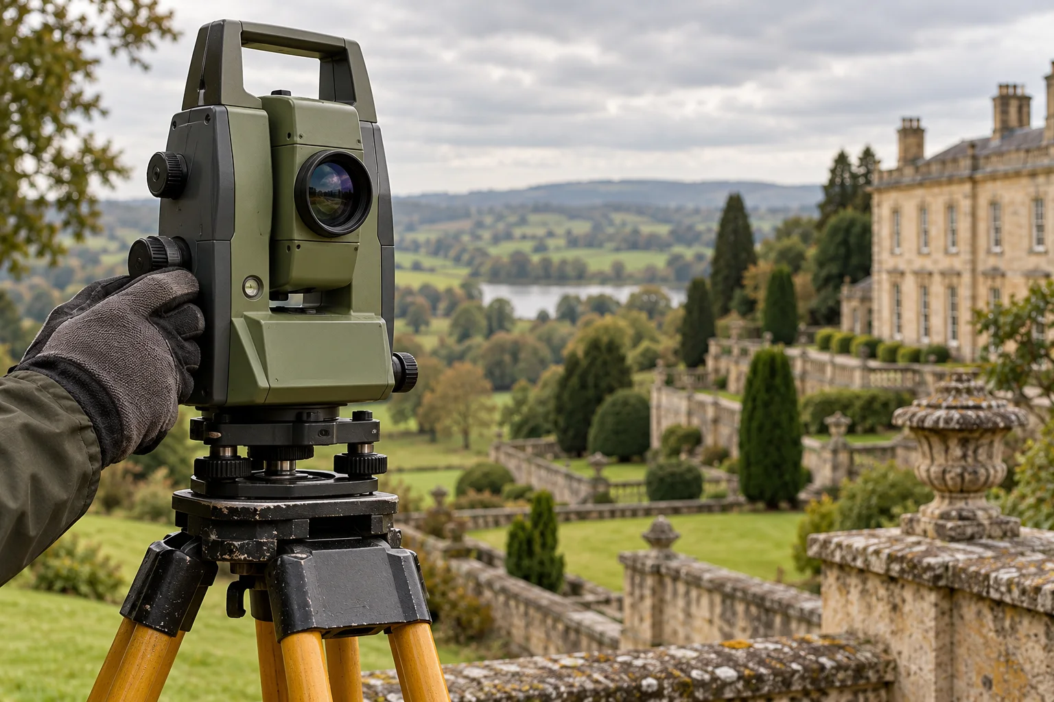 S—01ILLUSTRATIVE MATERIAL
What the work can include
Physical markers for parcel corners
Marked reference points and an agreed record of the staking work. Staking does not by itself resolve a legal ownership dispute.
Information to prepare
Provide the available parcel plan and site location. Discuss site access, vegetation and the intended use of the marked points.
03 / THE PROCESS
How the work proceeds
- 01
Consultation
Tell us about the property and the question you need to resolve.
- 02
Site measurement
Agree the scope and access, then collect the relevant site data.
- 03
Data processing
Turn observations into a structured, reviewed set of materials.
- 04
Technical documents
Receive the agreed outputs and discuss your next steps.
Frequently asked questions
What coordinate information is needed for staking?
Send the cadastral code and a current plan or coordinate file where available. The surveyor checks the point source, projection and units before setting out the boundary.
How are corners marked on the site?
The marker type depends on the surface and intended use. For example, a peg can mark soft ground, while paint or a suitable pin can identify a point on a hard surface.
Can a previously staked corner be restored if its marker is lost?
If the original coordinates are still applicable, a surveyor can use the point record to set out the corner again. Keep the point identifier and coordinate file from the initial staking.
Services
Related services
 P—01ILLUSTRATIVE MATERIAL
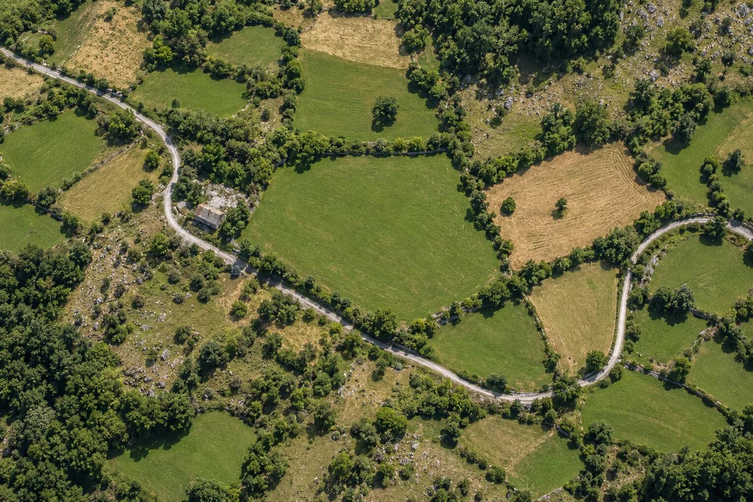
Land Parcel Cadastral Survey & Drawing
Parcel geometry and registry drawing deliverables
Topographic Survey & Geodetic Site Plan
Terrain levels, contours and utilities
Land & Property Subdivision or Consolidation
Proposed layouts for split or merged properties
07 / CONSULTATION
Your first consultation is free
Contact us to discuss your property and receive a free initial consultation. Surveying work, project scope, and pricing are agreed individually.
6 Mtkvari Street, Tbilisi, Georgia
View on Google Maps ↗Every day, 10:00 AM – 6:00 PM
Serving clients throughout Georgia
- 01Describe the property and the service you need
- 02Leave a phone number for the consultation
- 03Scope and price are agreed for your individual project