
06 / Services
Drone Photogrammetry & Orthophoto Mapping
Drone photogrammetry combines overlapping aerial photographs into a georeferenced orthophoto, point cloud or 3D surface model. Depending on the required accuracy, an RTK drone and surveyed ground control can anchor the result to an agreed coordinate reference. Coverage, flight restrictions, terrain, weather and the intended use determine the deliverables.
Discuss this service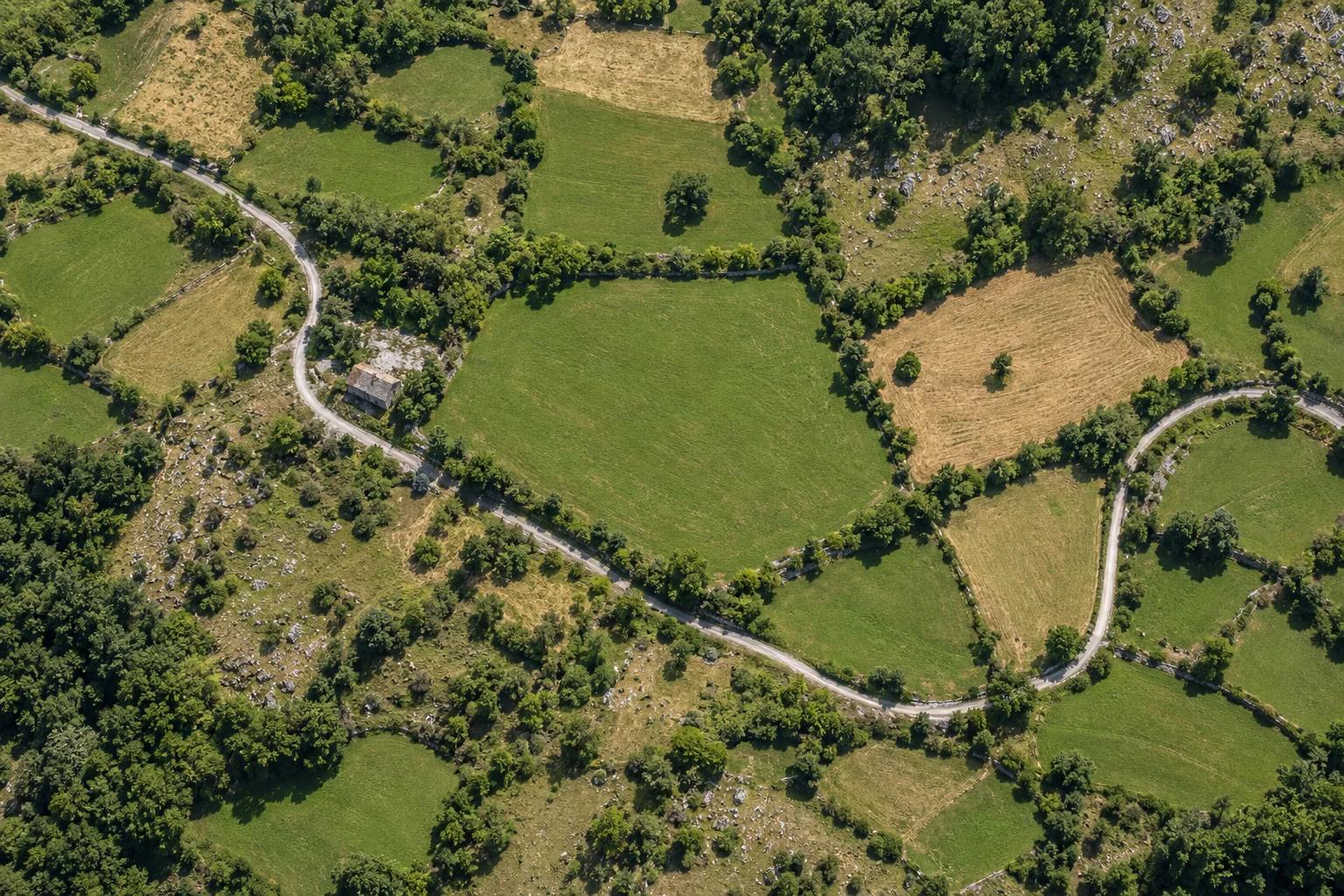 U—01ILLUSTRATIVE MATERIAL
What the work can include
Georeferenced imagery and 3D surfaces
Agreed aerial images, an orthophoto or a surface model where suitable. Flight feasibility, permissions and site conditions are assessed first.
Information to prepare
Provide the location, area of interest and intended output. Site access, nearby restrictions and weather are reviewed before scheduling.
03 / THE PROCESS
How the work proceeds
- 01
Consultation
Tell us about the property and the question you need to resolve.
- 02
Site measurement
Agree the scope and access, then collect the relevant site data.
- 03
Data processing
Turn observations into a structured, reviewed set of materials.
- 04
Technical documents
Receive the agreed outputs and discuss your next steps.
Frequently asked questions
What is the difference between an aerial photo and an orthophoto?
An orthophoto is corrected for perspective and relief so it can align with other georeferenced layers at the agreed accuracy.
When are ground control and check points useful?
Ground control ties imagery to known coordinates. Independently measured check points help assess accuracy and should be planned around the required output and site conditions.
Can photogrammetry show bare earth under trees?
Photogrammetry reconstructs the surfaces visible in overlapping images. Dense vegetation can hide the ground, so bare-earth work may require complementary ground measurements.
Services
Related services
P—01ILLUSTRATIVE MATERIALLand Parcel Cadastral Survey & Drawing
Parcel geometry and registry drawing deliverables
 S—01ILLUSTRATIVE MATERIAL
Land Boundary Staking & Corner Marking
Physical markers for parcel corners
Topographic Survey & Geodetic Site Plan
Terrain levels, contours and utilities
07 / CONSULTATION
Your first consultation is free
Contact us to discuss your property and receive a free initial consultation. Surveying work, project scope, and pricing are agreed individually.
6 Mtkvari Street, Tbilisi, Georgia
View on Google Maps ↗Every day, 10:00 AM – 6:00 PM
Serving clients throughout Georgia
- 01Describe the property and the service you need
- 02Leave a phone number for the consultation
- 03Scope and price are agreed for your individual project